Cropwise
powered by syngenta
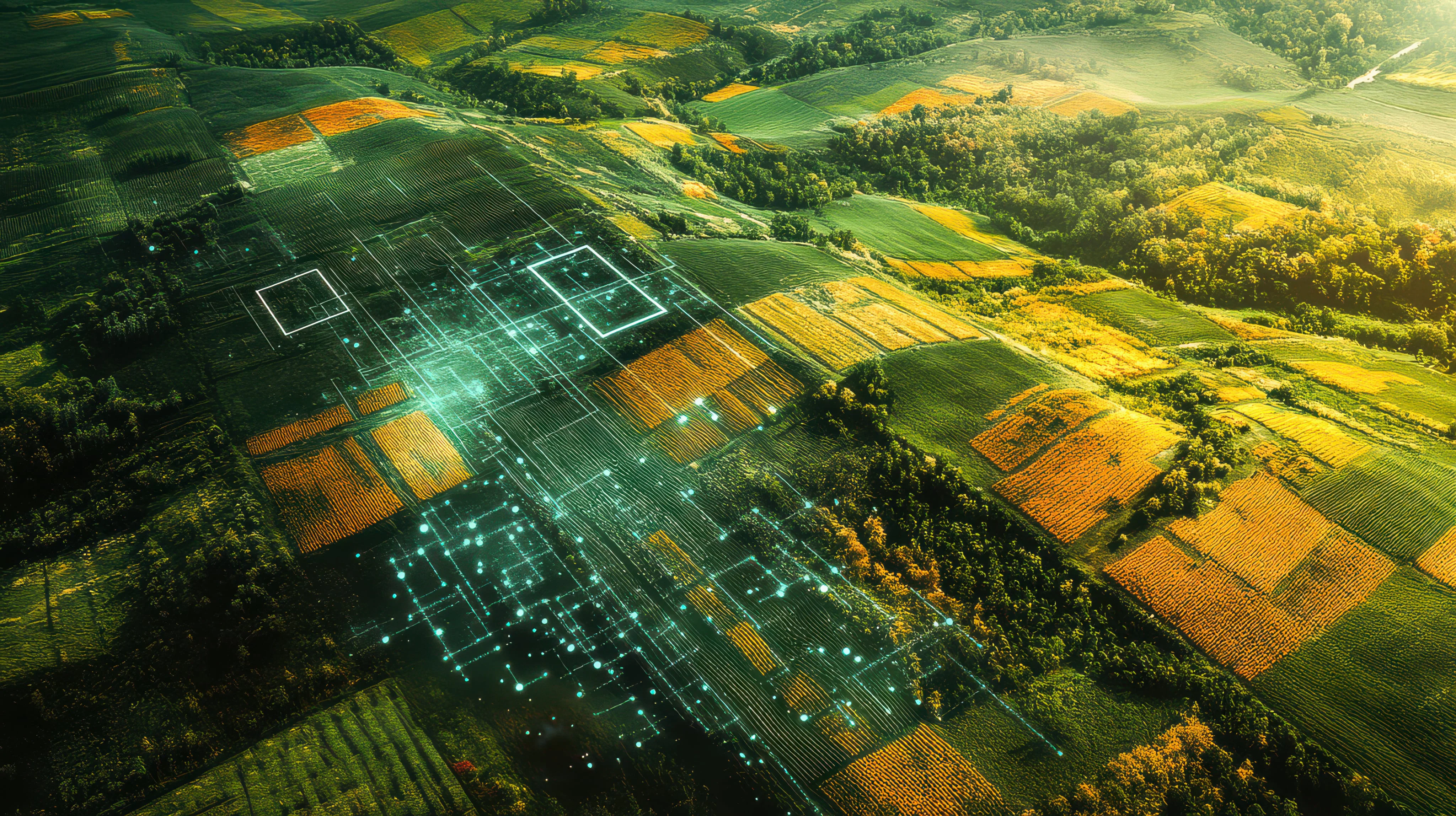
Hero background

Unlock the full potential of agricultural technology with Cropwise Open Platform

Our APIs offer developers and technology partners direct access to ready-to-use digital agriculture building blocks backed by decades of Syngenta research and global field data.

TRANSFORM AGRICULTURAL WITH END-TO-END SOLUTIONS

Combine our services to create new products that will transform the future of agriculture.

Agronomic Models illustration

Agronomic Models

Convert agronomic models into actionable insights within your product, turning field-specific analytics into valuable customer actions.

Explore more
Remote Sensing illustration

Remote Sensing

Utilize satellite imagery to create actionable signals for large-scale health monitoring and detect behavioral changes in your fields.

Explore more
In-Field Intelligence illustration

In-Field Intelligence

Leverage advanced analytics with field data to provide quicker operational insights for your farming activities.

Explore more
Integration Services illustration

Integration Services

Streamline and centralize agricultural data from various sources into a unified, standardized format for easier access.

Explore more
Explore all services

FROM API TO PRODUCT VALUE IN 3 STEPS

Have a real problem and a proposal to solve it? The complexity of implementing from scratch is no longer a problem — focus on the solution.

01

What's Your Agricultural Challenge?

Identify the gap, understand what your users truly need, and define which data-driven service would make a real difference to build your product.

02

Integrate with the Open Platform APIs

Explore the service hub and integrate the APIs that suit your needs. Authenticate once to access standardized endpoints with clear documentation and code samples.

03

Deliver a Customized Solution

Transform API responses into real product experiences. Build whatever you want that solves your users' specific needs, delivering a personalized experience with actionable insights.

Services

Foundation Services

Regional Crops and Growth Scale Catalogs

Product & Input Catalogs Sync

Regional Crops and Growth Scale Catalogs

The Cropwise unified crop to standardize your season data.

Custom Catalog Upload

Product & Input Catalogs Sync

Custom Catalog Upload

A flexible Cropwise catalog to upload inputs data in your application.

Farm Operations

Ag Operations Synchronization

Agricultural Operations

Ag Operations Synchronization

The Cropwise service to stay up to date with all your farm's ag operations.

Land AnnotationSOON

Agricultural Operations

Land Annotation

Capture land notes and constraints to improve planning and operational accuracy.

Remote Sensing

Satellite Images

Satellite Imagery

Satellite Images

The Cropwise imaging service to monitor your crop health.

Field Variability Index

Satellite Imagery

Field Variability Index

Quantify your field heterogeneity.

Vegetation Change Reports

Satellite Imagery

Vegetation Change Reports

Detect vegetation changes with automated analysis and reporting.

NDVI Time Series

Satellite Imagery

NDVI Time Series

Analyze crop trends with comprehensive temporal analysis of agricultural areas.

Field Classification

Satellite Imagery

Field Classification

Classify fields based on NDVI trends.

Satellite Indexes

In-Field Advanced Insights

Satellite Indexes

Monitor crop health with comprehensive vegetation index calculations.

NDVI Zones

In-Field Advanced Insights

NDVI Zones

Create zones from NDVI satellite imagery for precision agriculture.

Field Productivity Zone

In-Field Advanced Insights

Field Productivity Zone

Map and manage your field heterogeneity.

Relief Maps

In-Field Advanced Insights

Relief Maps

Access terrain elevation data through a Map Tiles API for any Area of Interest.

Agronomic Models

Regional Relative YieldTRY IT NOW

Regional Map Intelligence

Regional Relative Yield

Track in season yield expectations against historical benchmarks across regions.

Regional Abiotic Stress RiskTRY IT NOW

Regional Map Intelligence

Regional Abiotic Stress Risk

Monitor heat, cold, and frost exposure across regions to anticipate crop stress.

Regional Disease RiskTRY IT NOW

Regional Map Intelligence

Regional Disease Risk

Detect where disease pressure is building to prioritize scouting and protection earlier.

Relative Yield Model

Field-Level Analytics

Relative Yield Model

Anticipate yield performance throughout the season.

Abiotic Stress Risks

Field-Level Analytics

Abiotic Stress Risks

Monitor environmental stress risks.

Growth Stage Model

Field-Level Analytics

Growth Stage Model

Follow crop development real time, from planting to harvest.

Seed Density Recommendation

Field-Level Analytics

Seed Density Recommendation

Maximize yield potential with tailored seed rate.